HikingAll levels
Introductory Course in Map Reading and Navigation
Apprendre à s'orienter, avec une carte et une boussole, sans smartphone !
€35Per person
Prélenfrey - Le GuaLocation
6hDuration
All levelsLevel
1100 mMax altitude
All 2 photos
This description was translated automatically.
About this activity
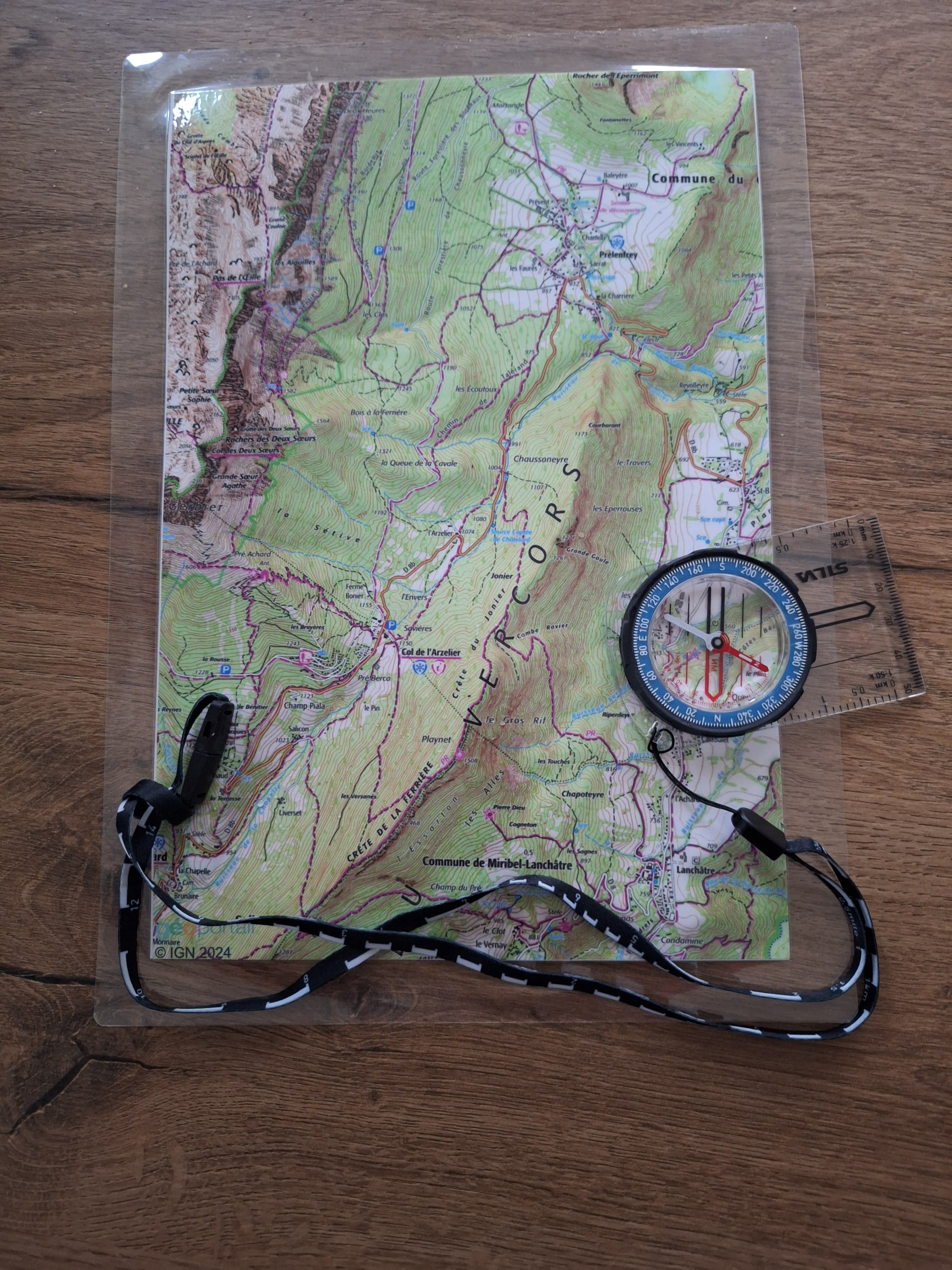
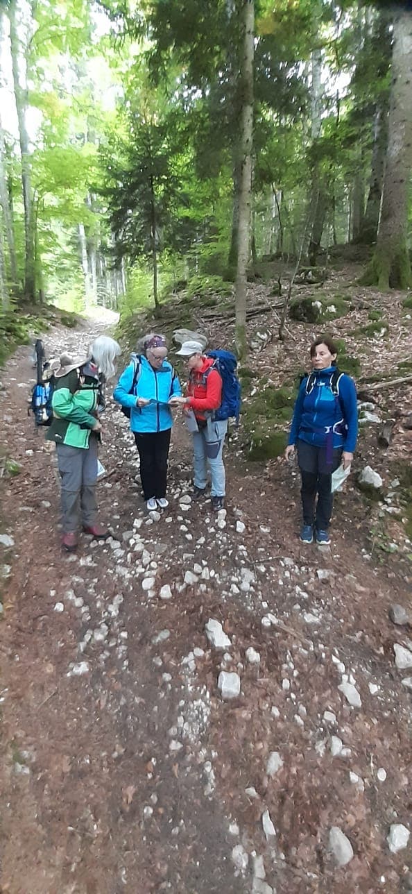
The aim of this course is to teach you how to interpret the legends and information on IGN maps, how to use a compass, and how to combine the two.
This will enable you to plan your outings at home, map out your route, adapt it once you’re out in the field, and find your way with confidence.
And even if you end up using a smartphone, reading the map backgrounds will be much easier.